Satellite Data & Computer Vision
How can satellite data and computer vision help protect our planet?
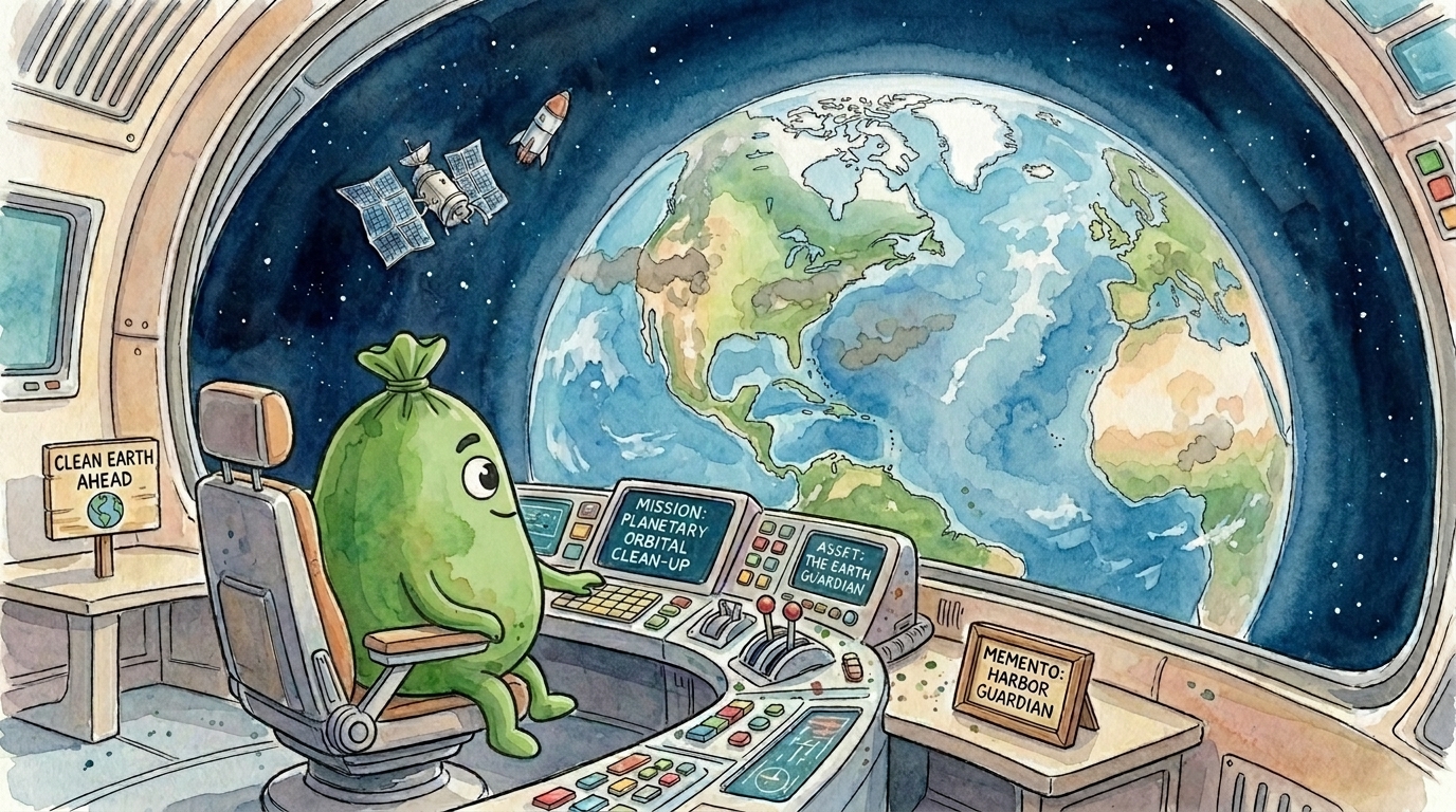
We are developing TrashTrek App, a proprietary solution for the early detection, collection, and analysis of environmental waste. Soon, you will be able to capture geolocated photos that our technology transforms into structured, actionable data. Satellite analytics will then automatically identify critical hotspots, which will be assigned to you as field verification tasks.
Computer Vision
Coming Soon: We are developing deep learning models (CNN) to automatically identify waste types. This technology is critical for transforming raw community photos into a structured database of global pollution.
Satellite Analytics
Coming Soon: We are establishing advanced environmental monitoring using Copernicus Sentinel data. By analyzing multispectral indices and using algorithms to distinguish seasonal fluctuations from actual degradation, you'll be the one to verify these hotspots on the ground!
The Path to a Clean Environment
Your Contribution
Capture environment photos that provide the vital data needed to train our AI for automatic detection.
Satellite Identification
The system analyzes Copernicus Sentinel data to detect subtle environmental shifts and anomalies from space.
Field Challenges
Detected hotspots are converted into interactive tasks for users, ensuring rapid and precise on-the-ground action.
Join the Movement
Join the TrashTrekApp community today and help us co-create the future of environmental conservation.